OUR PROJECT

WHAT WE ARE DOING?
This is the inaugural state of the map (SOTM) event for Rwanda in 2024, themed "Empowering Rwanda's Future: Innovations for a Resilient and Sustainable Tomorrow." The event aims to bring together OpenStreetMap enthusiasts from academia, private companies, humanitarian organizations, governmental agencies, and the technology sector. Participants will have the opportunity to learn, interact, and share ideas about new map technologies and innovations
Our mission
Our mission is to create a dynamic and inclusive forum where OpenStreetMap enthusiasts come together to explore, collaborate, and innovate. Through workshops, discussions, and networking opportunities, we aim to advance the use of map technologies and foster partnerships that drive positive change, resilience, and sustainability in Rwanda and beyond.
our vision
Our vision is to cultivate a collaborative platform at the State of the Map event for Rwanda in 2024. OpenStreetMap enthusiasts from diverse sectors will converge to foster innovation and empower Rwanda’s future. By facilitating learning, interaction, and idea-sharing, we aspire to catalyze the development of resilient and sustainable solutions that address the evolving needs of Rwanda’s communities
WHAT WE ARE DOING
Landslides and Flooding in Northern and Western Rwanda (May to November 2024)
Project Overview
The ECO-MAPPERS project aims to make a sustainable contribution to disaster preparedness in the Northern and Western provinces of Rwanda. Our focus is on improving community resilience through youth engagement in mapping initiatives and innovation. The project was initiated in response to deadly flooding that claimed around 130 lives in these regions.

Specific Objectives
- Advance the Map: We actively contribute to OpenStreetMap by mapping amenities and place names in areas where existing data is outdated or nonexistent.
- Use Created Data: Our goal is to ensure that the data we generate is actively used for disaster preparedness and climate resilience.
Key Activities
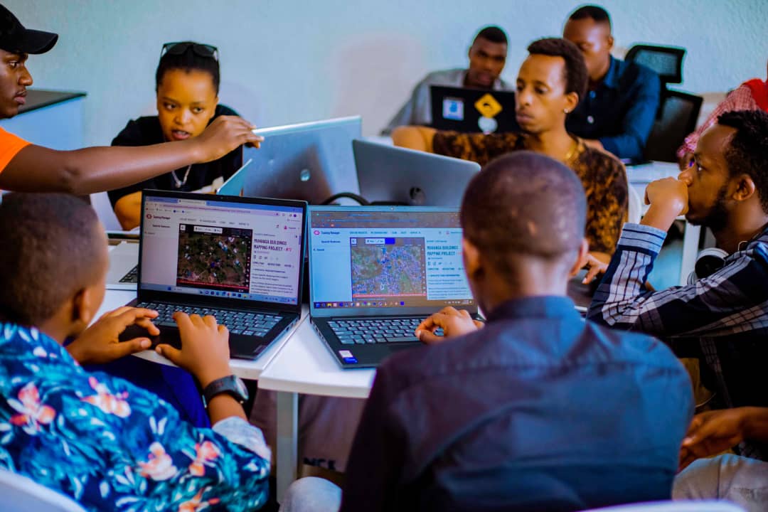
- Online Mapping: We have already mapped around 50,000 buildings online, with contributions from over 300 international mappers.
- Field Mapping: Using the Field Mapping Tasking Manager (FMTM), we collected attribute information on the status of around 5,000 buildings in identified hotspots. This detailed data informs early warning systems for landslides and flooding susceptibility.
Youth Engagement
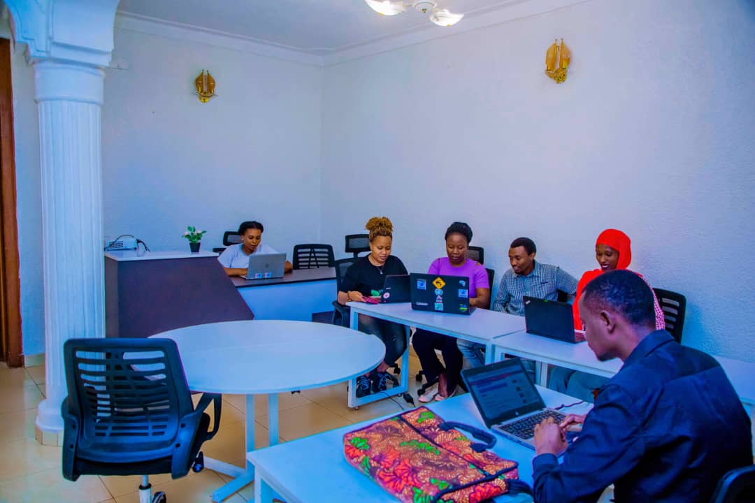
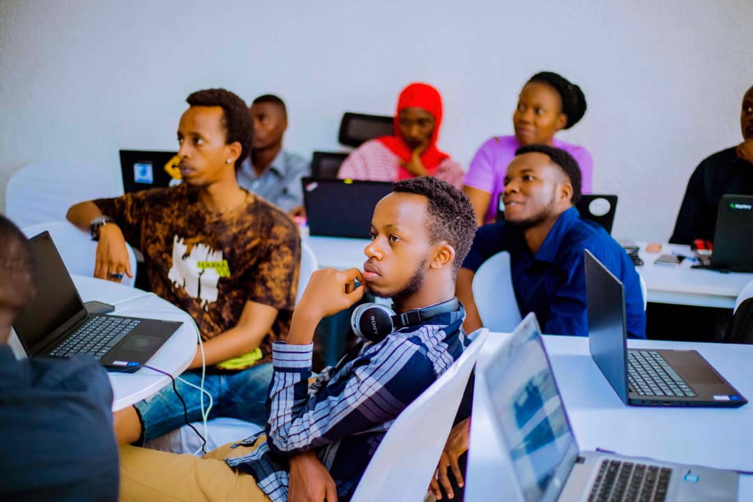
- We train local youth in Nyabihu and Ngororero Districts to use the HOT Task Manager and JOSM (Java OpenStreetMap Editor).
- Youth engagement is crucial, as they are most exposed and vulnerable to disasters. Their active participation ensures the success of our project.
Impact and Alignment
- Our project directly contributes to disaster response and climate change resilience in the Nyabihu, Ngororero, and Musanze Districts.
- By improving data-driven decision-making, we empower partners like the Rwanda Red Cross and Local Government.
- Our work aligns with Rwanda’s nationally determined contributions to climate change mitigation and adaptation.
